Assorted photo review of Guatemala Relief Map. A major touristic place for visitors.
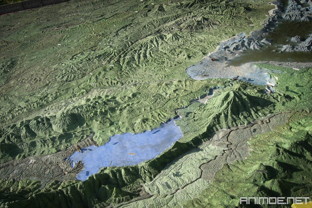
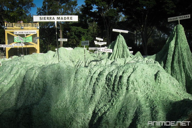
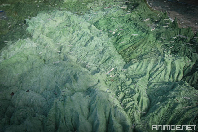
If you plan to visit Guatemala, make sure to venture into one of its interesting attractions in the city: The Relief Map (Mapa en Relieve). Located at Simeón Cañas Avenue, zone 2. The map itself is a representation of the geography of the country built in relief with mountains, volcanoes and lakes in a 1:10,000 scale.Is open to visitors and surely a must see if you have limited time and can't travel across the hole country.
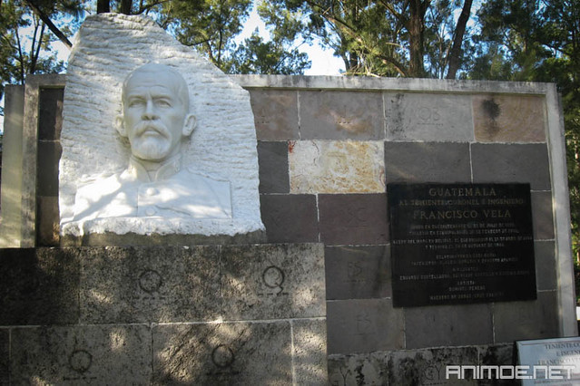
The Relief Map was made between 1904 and 1905 by the Guatemalan engineer Francisco Vela Irrisario.
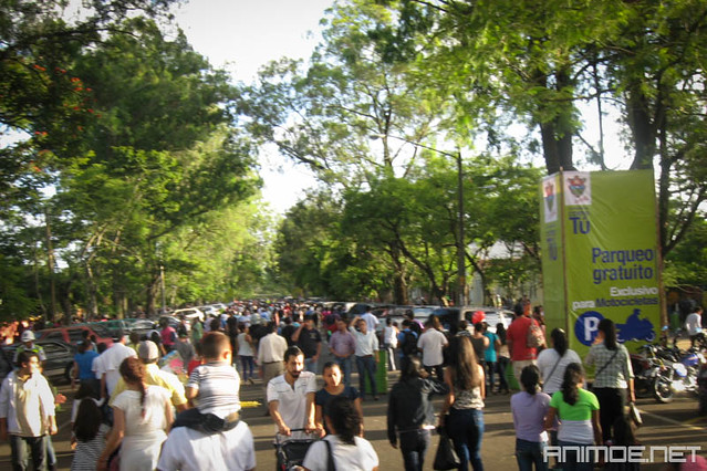
Many locals come out to enjoy the festivities known as Jocotenango Fair in middle August, the perfect time to go and visit the map.
")


No comments
Post a Comment